Project Highlights:
- Developed fulll system architecture for a low-cost, LoRa-based rescue communication and machine learning weather network
- Designed rugged handheld communicator and solar-powered repeater stations with integrated weather sensors
- Investigated market analysis, business model design, and commercialization strategy
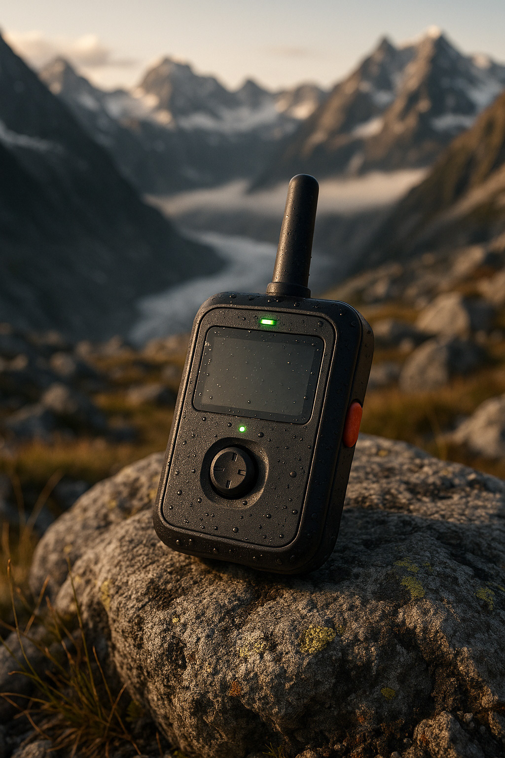
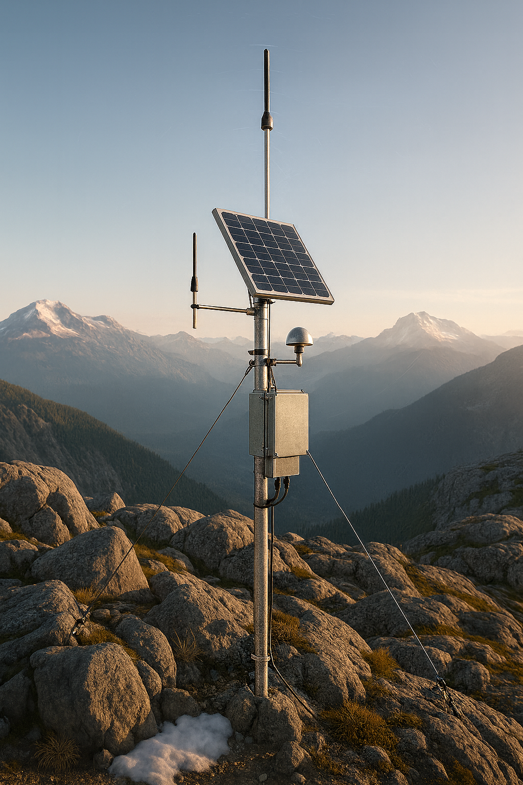
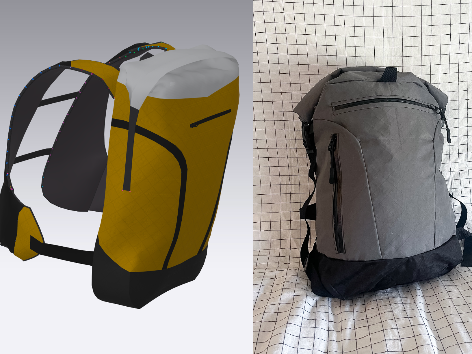
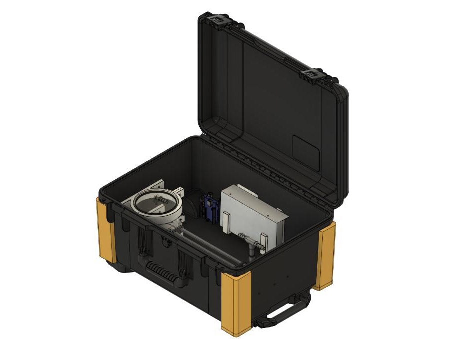
[Note: Images shown are concept renders only and do not reflect final hardware.]
SARNET started with a problem. Two, actually.
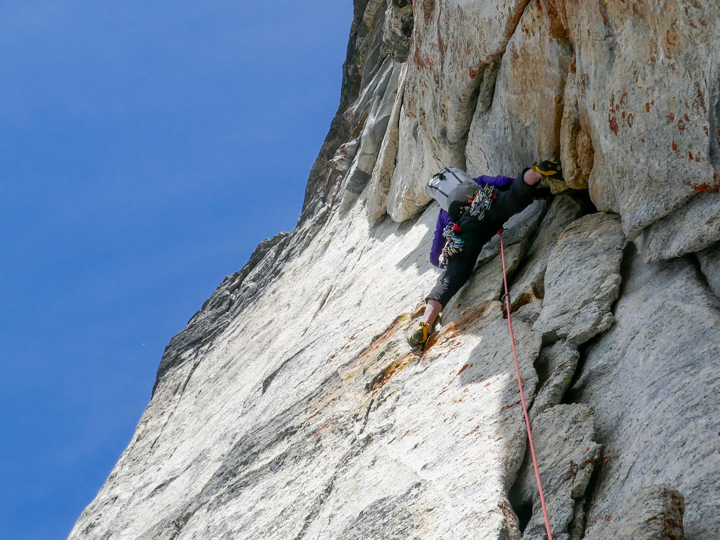
The first was one I encountered firsthand working in SAR on the BC coast: the lack of reliable, low-cost distress signaling in remote terrain. In the backcountry, communication between subjects and rescue teams is often delayed, complex, and unreliable, especially in mountainous areas where signal can drop out and dispatch may take hours. That delay can be the difference between a positive or negative outcome.
The second problem was just as critical: weather forecasting in alpine environments is notoriously poor. The numerical models we rely on (e.g. HRRR, CMC-R, ECMWF) are designed for large-scale terrain, not narrow valleys or high passes. And since there's little weather station coverage in these areas, there's no way to improve those forecasts with real-world data. This leaves both users and SAR teams making safety-critical decisions based on flawed or incomplete information.
SARNET is a response to both problems. It’s a modular communication and forecasting system designed to support backcountry users and SAR responders with accurate, terrain-aware situational awareness. The system is made up of three parts: a rugged handheld communicator, a network of solar-powered repeater stations, and a central command hub.
The user device is a compact, low-power communicator that uses LoRa technology to broadcast the user’s location at regular intervals and send a distress signal at the press of a button. It’s designed to function independently but can optionally pair with a smartphone. By avoiding satellite communication, the system removes subscription fees and cuts upfront costs by up to 90%, making it more accessible to everyday backcountry travelers. Parks could loan or rent the devices as part of a visitor safety program.
The repeaters are the backbone of the system. They are low-cost, solar-powered relay stations placed on ridgelines, saddles, or peaks. They forward location and distress data through a mesh network to a command center, where park staff or SAR teams can receive live updates. The network is designed with redundancy in mind to tolerate failures and maintain coverage across the area.
But the real opportunity came when I asked: what else can these stations do? The answer was weather. Each repeater doubles as a compact weather node, collecting hyper-local data like wind speed, temperature, humidity, pressure, and precipitation. This data is used to both validate existing model outputs and train a lightweight machine learning model that improves forecast resolution across microclimates and elevations. Users could access this data in real-time, and SAR teams could use it to better assess risk and choose the right resources for a mission.
On the business side, I developed SARNET’s commercialization strategy as part of CHEE 410 – Engineering Innovation and Entrepreneurship. This included detailed market analysis, customer segmentation, and business model development tailored to the needs of SAR teams, public agencies, and outdoor users. I assessed IP and regulatory constraints, explored funding pathways through public grants and innovation programs, and designed a phased go-to-market strategy starting with national parks. The work emphasized cost structure optimization, long-term scalability, and alignment with public safety objectives.
So far, I’ve planned the full system architecture, evaluated signal propagation modelling methods, researched weather models and APIs, investigated intellectual property and regulatory constraints, created a business plan, and analyzed the market for the system across the country. I’m now building CAD models, prototyping the handheld hardware, and researching machine learning options.
This project has brought together everything I care about: engineering design, backcountry safety, systems thinking, and public impact. I’ve had the chance to dive into embedded systems, hardware design, wireless networks, environmental data modeling, and early-stage venture planning. It’s still an active project, and I’m excited to keep building, both the technology and its potential for real-world use.